Earthquickalert
Real-time disaster-management platform unifying DOT road-closure feeds and power-outage data into a single geospatial view with offline-capable mobile reporting.
View live project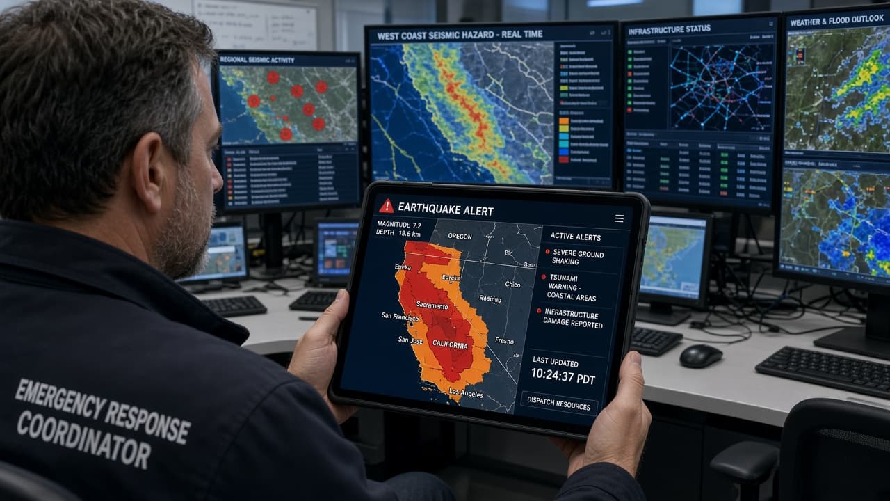
Real-time disaster-management platform unifying DOT road-closure feeds and power-outage data into a single geospatial view with offline-capable mobile reporting.
- 01
Unified Real-Time Feeds
Disaster-management platform unifying WZDX DOT feeds (10+ states) and ODIN power-outage data into one operational layer.
- 02
Optimized GeoJSON Rendering
GeoJSON parsing into optimized Leaflet layers with viewport-bounding — only data in the visible map region is rendered.
- 03
Geospatial Access Control
Haversine radius-based geospatial access control — users and alerts are scoped to geographic proximity, not just account boundaries.
- 04
Decoupled Notification Queue
Inngest/Redis notification queue decoupled from the request path — alerts dispatch reliably without blocking the main application flow.
- 05
Offline Mobile Reporting
Offline-capable mobile reporting with Cloudinary direct uploads — field teams can capture and queue reports without continuous connectivity.